![]()


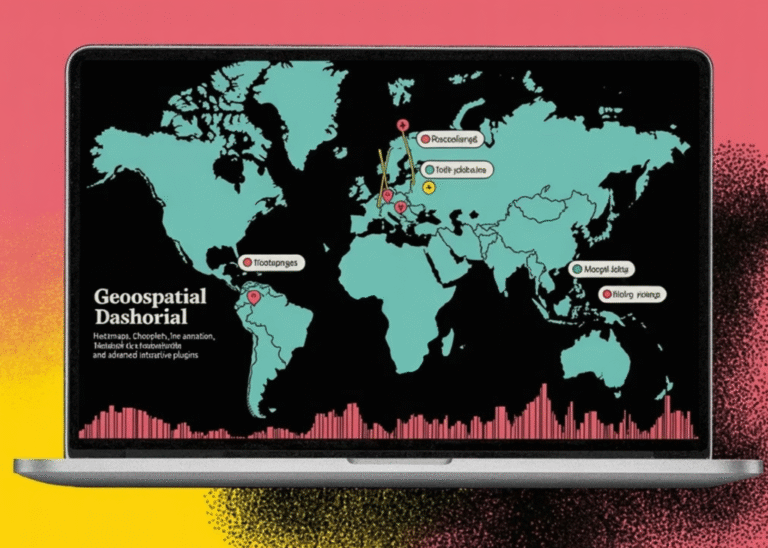
How to Build Interactive Geospatial Dashboards Using Folium with Heatmaps, Choropleths, Time Animation, Marker Clustering, and Advanced Interactive Plugins
def create_marker_cluster_map(): “””Create a map with marker clustering for large datasets””” np.random.seed(123) n_locations = 5000 lats = np.random.uniform(25, 49, n_locations) lons = np.random.uniform(-125, -65, n_locations) values = np.random.randint(1, 100, n_locations) df_markers = pd.DataFrame({ ‘lat’: lats, ‘lon’: lons, ‘value’: values })…